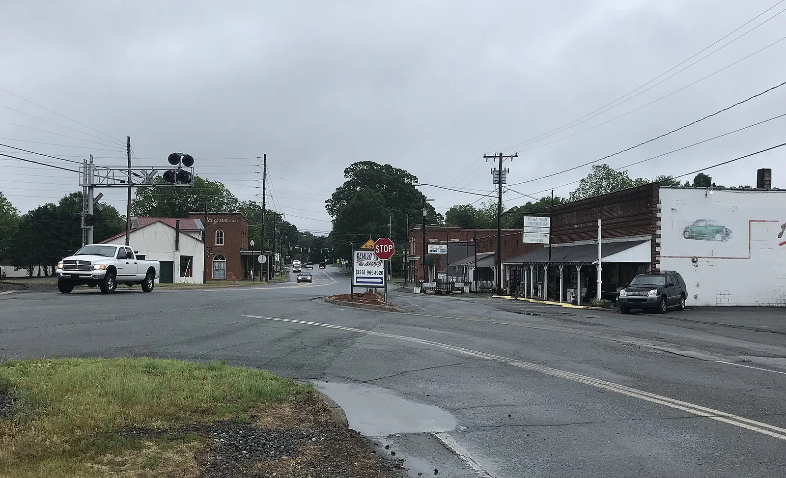
Planners want to know where homes, stores and industry should go around Rural Hall. The online survey closes Nov. 22, and the next public meeting is Dec. 16.
People who live or own land in and around Rural Hall have until Sunday, Nov. 22, to tell planners where new homes, stores and industry should go.
The online survey closes at 11:59 p.m. that day. It is the second survey for the Rural Hall Area Plan, which the joint City-County Planning and Development Services department is rewriting. The city announced the survey on Nov. 5.
Rural Hall is about 10 miles north of downtown Winston-Salem. The plan reaches well beyond the town itself.
What the plan covers
The Rural Hall Area Plan page sets out the area:
- 12,650 acres and more than 4,600 parcels
- all of the town of Rural Hall
- parts of Winston-Salem and unincorporated Forsyth County
- land west to Shore Road south of U.S. 52, and to the Helsabeck Road area north of it
- land north to the Stokes County line
- land east to Red Bank Road, Memorial Industrial School Road and Stanleyville Road
- land south to Shore Road and Ziglar Road
The new boundary also takes in parts of two older plans: the Northeast Rural Policy Area (2012) and the North Suburban Area Plan Update (2014).
The finished plan will make a land use recommendation for every parcel. The Planning Board and elected officials use those recommendations when they weigh rezoning requests.
What an area plan does and does not do
Planners set out the limits at the first public meeting on Sept. 23. An area plan does not:
- change the zoning of any property
- affect property rights
- recommend specific uses or businesses
It does shape the answer when someone later asks to rezone land. That is why the survey matters to anyone who owns land or lives near open land in the area.
Why it is being rewritten now
The current plan was adopted by the Forsyth County Board of Commissioners on Aug. 8, 2016, after the Planning Board and the Rural Hall Town Council backed it that June.
The rewrite follows Forward 2045, the comprehensive plan for Winston-Salem and Forsyth County. The City Council adopted it in November 2024 and the county commissioners in August 2025, according to the September presentation.
That presentation listed the changes pressing on the area:
- more residential development
- the Forum Parkway connector
- the widening of Bethania-Rural Hall Road to a two-lane divided road with room for people on bikes and on foot
It also named utility limits as a brake on growth.
The countywide housing numbers
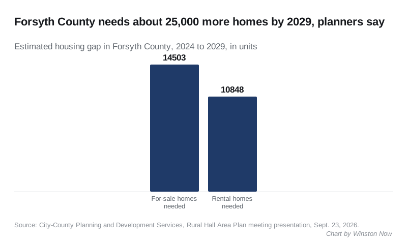
Planners framed the work around housing need across Forsyth County. The presentation said the county is short of 14,503 for-sale homes and 10,848 rental homes for 2024 to 2029.
It also gave the mix of Forsyth County homes for sale in May 2024:
| Price | Share of homes for sale |
|---|---|
| Under $200,000 | 15.6% |
| $200,000 to $400,000 | 52.5% |
| Over $400,000 | 31.9% |
For current values in the city, see our Winston-Salem home prices page.
The meetings
All four public meetings are at Rural Hall Town Hall and start at 5:30 p.m. with a short presentation, then activity stations where people can mark maps and talk to planning staff. The city says people who cannot arrive at 5:30 p.m. can still come later.
| Meeting | Date | Topic |
|---|---|---|
| 1 | Sept. 23 (held) | Introduction and map exercises |
| 2 | Nov. 5 (held) | Initial proposed land use recommendations |
| 3 | Wednesday, Dec. 16 | Activity centers, mixed-use areas and development options |
| 4 | Wednesday, Jan. 13, 2027 | Draft plan for public review and comment |
Planners aim to finish the plan and ask for adoption in spring 2027, after three public hearings. As of Sunday, the city had posted the September slides but not material from the Nov. 5 meeting.
What it means for you
- If you live, farm or own land between Shore Road, Stanleyville Road and the Stokes County line, this plan will be cited the next time land near you is up for rezoning.
- Take the survey by 11:59 p.m. Sunday, Nov. 22.
- Check the boundary map to see whether your parcel is inside the plan area.
- Go to the Dec. 16 meeting at Rural Hall Town Hall if you want a say on where shops and mixed-use development could go.
The city is also changing parking rules for new buildings; read our story on the end of parking minimums.
Have your say