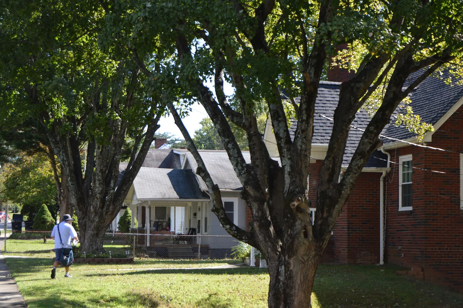
Waughtown, along Waughtown and Sprague streets east of US 52, is in ZIP code 27107, where Zillow's typical home value rose 1.2% in a year to $244,448.
Last checked Oct. 12, 2026. Sources: the Waughtown-Belview Historic District National Register nomination (N.C. State Historic Preservation Office), the City of Winston-Salem’s school zone and parks map layers and greenway pages, the N.C. Department of Public Instruction’s 2025-26 accountability data, WSTA’s published schedule data, OpenStreetMap and Zillow Research.
Waughtown is the older neighborhood on the ridge southeast of downtown, along Waughtown and Sprague streets just east of US 52. The Waughtown-Belview Historic District nomination, listed on the National Register in 2005, says Waughtown Street was in use by the early 19th century as the Plank Road to Fayetteville, and that the area takes its name from James Waugh, who bought a store and 200 acres there in 1815. A streetcar line ran along Sprague Street by about 1901. Homes are in ZIP code 27107.
What this means for you
- Zoned high school: Glenn High for most of the district, 30.3% of state tests at grade level in 2025-26, according to the state’s accountability data; parts are zoned for Parkland or East Forsyth. Confirm an address with the district at 336-727-2292.
- Home value: $244,448 in ZIP code 27107 in August 2026, according to the Zillow Home Value Index.
- Nearest freeway exit: I-40 Exit 195 at NC 109 and Thomasville Road, about 1 mile by road.
Part of our Winston-Salem neighborhoods guide.
Where it is
The nomination describes a district stretching about 18 blocks along Waughtown and Sprague streets, roughly bounded by US 52 on the west, Waughtown and Belleauwood streets on the north, Reynolds Forest Drive on the east, and Sprague, Ernest and Goldfloss streets on the south. It joins the older Waughtown community with Belview, and notes industries such as the Nissen Wagon Works, while saying the area “was never a company town.” The district’s homes are mostly single-family houses, with some apartments, stores, churches and a cemetery, according to the nomination’s list of uses.
The district is listed on the National Register only; it is not one of the county’s local historic districts on the city’s historic districts page, so changes to houses do not go through design review. It is covered by the city’s Southeast Winston-Salem Area Plan.
Schools
Waughtown is in Winston-Salem/Forsyth County Schools. We checked 71 evenly spaced points inside the historic district on the city’s published school zone map layers:
- Elementary: 46 were zoned for Forest Park, 15 for Hall-Woodward and 10 for Konnoak.
- Middle: 60 were zoned for Hanes Magnet and 11 for Konnoak Middle (labeled Philo-Hill on the city’s map).
- High: 49 were zoned for Glenn, 11 for Parkland and 11 for East Forsyth.
| Level | School | At grade level | Growth |
|---|---|---|---|
| Elementary | Forest Park Elementary, 2019 Milford St. | 45.1% | Exceeded |
| Elementary | Hall-Woodward Elementary, 125 Nicholson Road | 40.7% | Met |
| Middle | Hanes Magnet, 2355 Pleasant St. | 54.5% | Not met |
| High | Glenn High, 1600 Union Cross Road | 30.3% | Not met |
| High | East Forsyth High, 2500 W. Mountain St., Kernersville | 45.1% | Not met |
Scores are the share of state tests at grade level or above in 2025-26 and the state’s growth rating. Glenn High’s four-year graduation rate was 75.8% and East Forsyth’s 91%. The district average on state tests was 52.4%. Because zones split the district three ways at the high school level, check each address with the district. More in our schools guide.
Home values
The Zillow Home Value Index is a modeled typical value for the middle third of homes, not a sale price. Zillow publishes no figure for Waughtown alone.
| Area | August 2026 | August 2025 | Change |
|---|---|---|---|
| ZIP code 27107 | $244,448 | $241,433 | +1.2% |
| City of Winston-Salem, for comparison | $263,057 | $262,613 | +0.2% |
The 1.2% rise in 27107 was the largest one-year change among the seven city ZIP codes on our home prices page.
Parks and trails
From the city’s parks map layer:
- Sprague Street Park, 1350 E. Sprague St., 27 acres, with a splash pad open May 1 through Sept. 30, according to the city’s splash pads page.
- The Quarry at Grant Park, about 190 acres around a flooded former quarry, borders the district; its entrance is at 1790 Quarry Road off Reynolds Park Road.
- Forest Park, 1184 Tower St., and Belview Park, 2800 Burgandy St.
The Waughtown Connector greenway links the Quarry at Grant Park with the Peachtree Greenway. More in our parks and trails guide.
Getting around
- I-40: Exit 195 at NC 109 and Thomasville Road is about 1 mile by road.
- US 52: Exit 108A at Waughtown and Sprague streets is about 1.2 miles.
- Downtown: about 3.5 miles by road to City Hall.
- Piedmont Triad International Airport: about 22.5 miles by road.
- Buses: WSTA routes 86, 104 and 105 and the 121 WSTA-X South stop in or beside the district, according to WSTA’s current schedule data. See wstransit.com.
Distances were measured with the OSRM routing engine on OpenStreetMap roads from the middle of the district. They are distances, not drive times. More in our getting around guide.
Groceries and everyday stores
From OpenStreetMap:
- Supermarkets: Food Lion, Thomasville Road, about 0.6 mile; Marymar Supermarket, Waughtown Street; La Providencia, Old Lexington Road.
- Pharmacy: Walgreens, 2920 Waughtown St.
How we built this page
The outline we used is the National Register boundary published by the state historic preservation office, and the history comes from the district’s nomination. School zones come from the city’s map layers, checked at evenly spaced points; confirm an address with the district. We found no public list of homeowners associations for Waughtown, so this page does not describe them.
Frequently asked questions
What schools serve Waughtown in Winston-Salem?
Of 71 points we checked in the Waughtown-Belview historic district on the city’s school zone maps, 46 were zoned for Forest Park Elementary, 60 for Hanes Magnet and 49 for Glenn High. Parts are zoned for Parkland or East Forsyth High. Confirm an address with the district at 336-727-2292.
What ZIP code is Waughtown?
Waughtown is in ZIP code 27107. Zillow’s Home Value Index for 27107 was $244,448 in August 2026, up 1.2% from August 2025, the largest one-year rise among the seven Winston-Salem ZIP codes on our home prices page.
Where does the name Waughtown come from?
From James Waugh, who bought a store and 200 acres on the old Plank Road to Fayetteville in 1815, according to the district’s National Register nomination.
What parks are in Waughtown?
Sprague Street Park, 1350 E. Sprague St., with a splash pad; the Quarry at Grant Park on the district’s edge; Forest Park, 1184 Tower St.; and Belview Park, 2800 Burgandy St.
Have your say